

Haukkavuori
The highest point of the South Karelia region
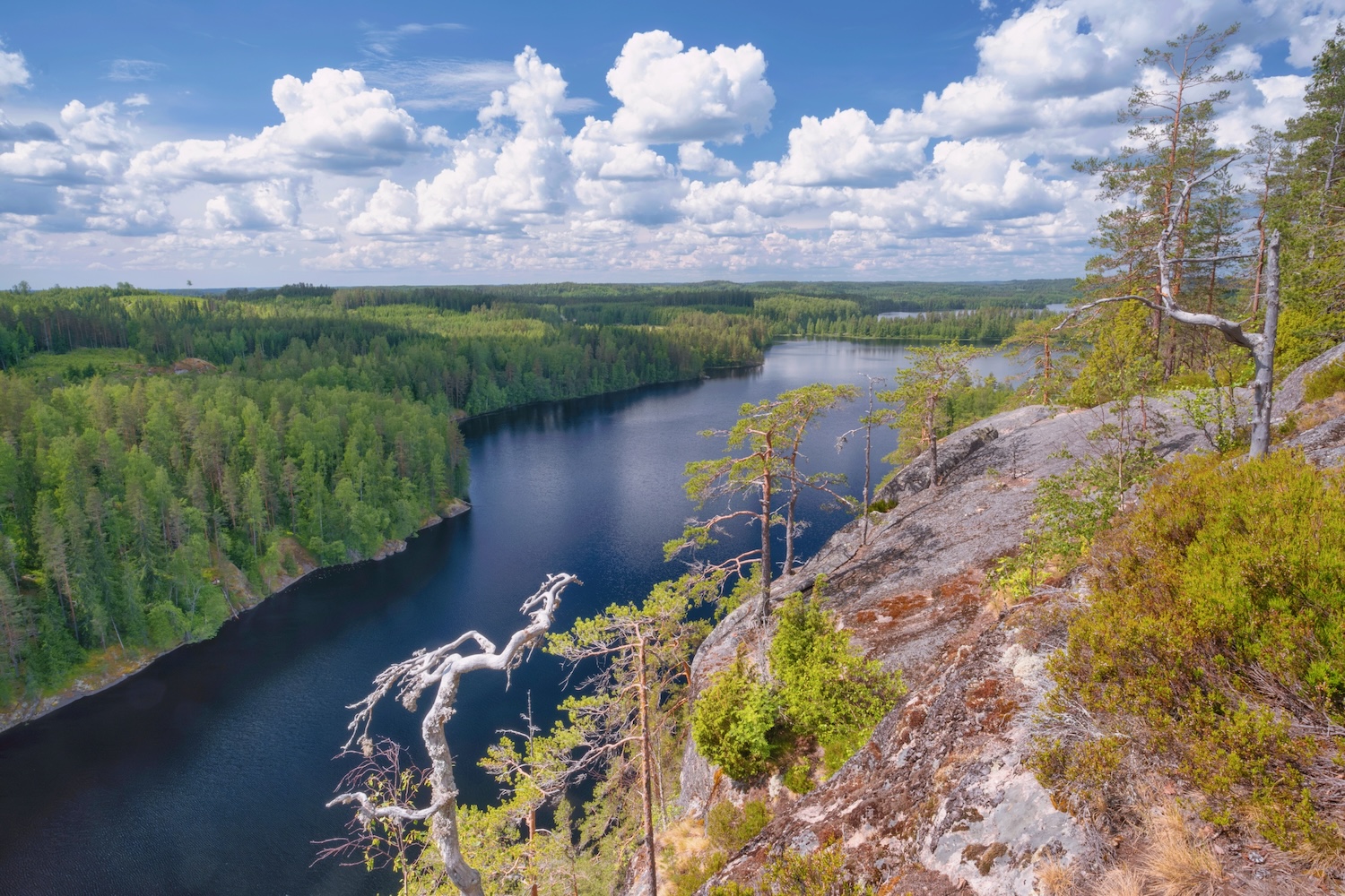
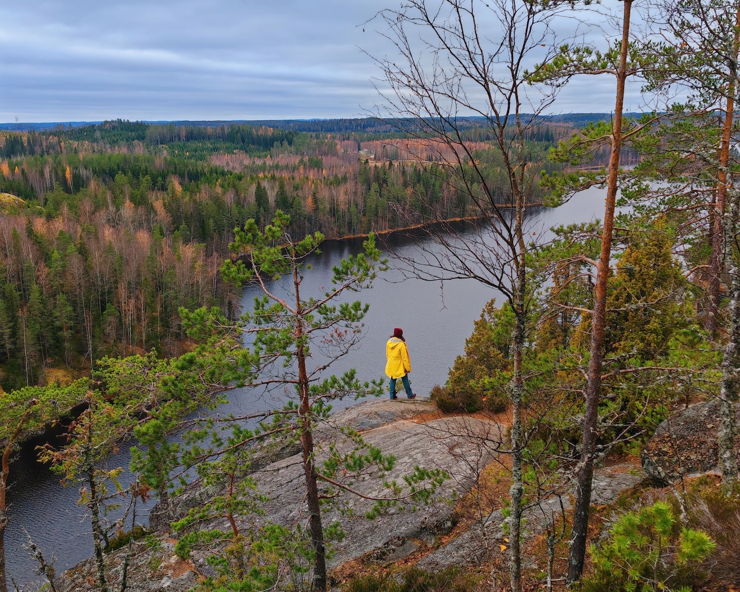
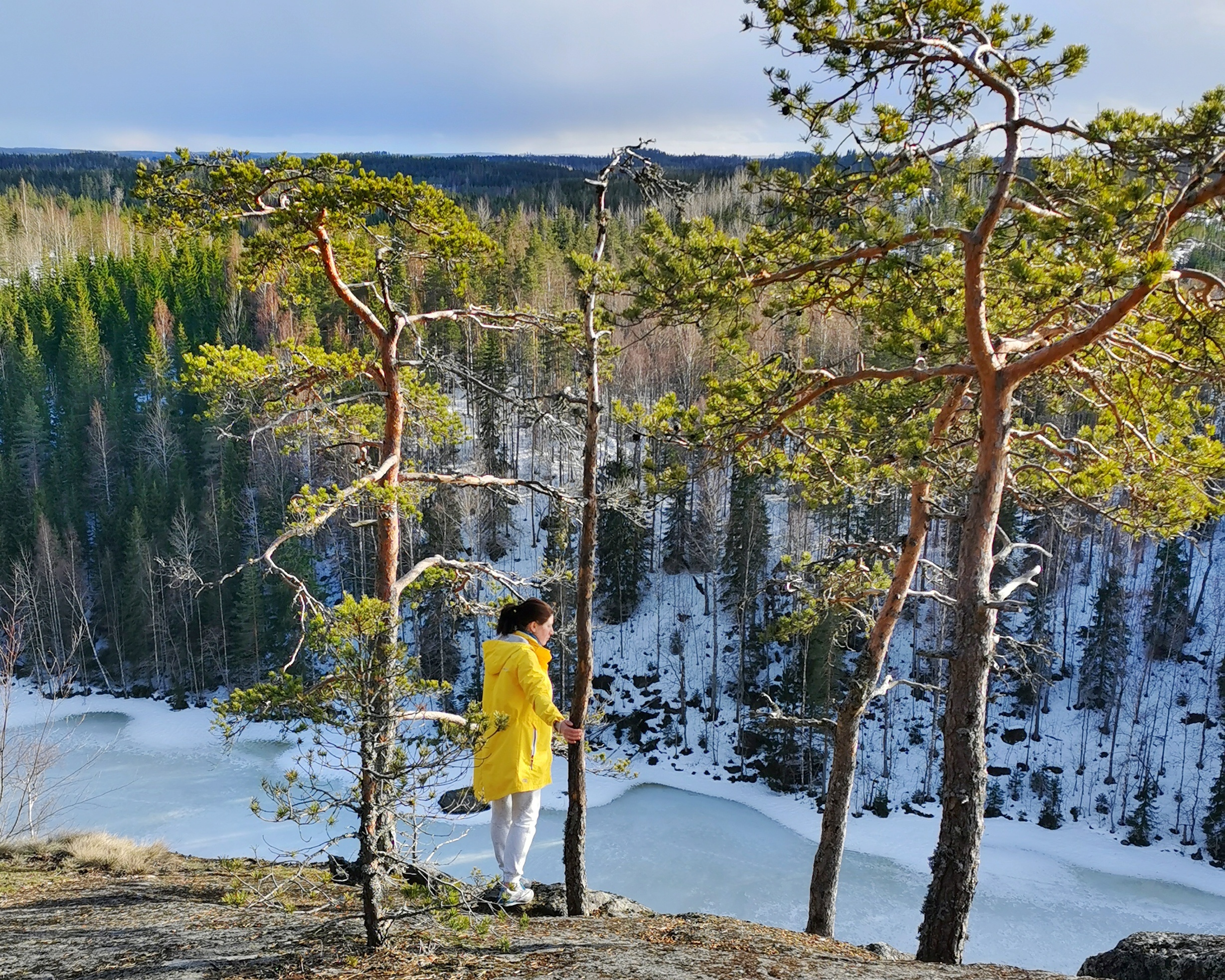
Haukkavuori (translation: Eagle mountain) is the highest point of the South Karelia region, located in the municipality of Rautjärvi. Haukkavuori is about 80 m tall, measured from the surface of lake Sarajärvi below. Haukkavuori offers the best views in the whole region, making it a popular hiking destination for locals and travellers alike.
Haukkavuori is one of Finland's Natura targets and is governed by The Finnish Cultural Heritage Foundation. Haukkavuori is also part of Saimaa UNESCO Global Geopark. Read more
Watch this video taken from Haukkavuori!
Haukkavuori is a historical landmark that has the demarcations of the Treaty of Nöteborg (1323), the Treaty of Teusina (1595) and the Treaty of Nystad (1721). The demarcations carved into the surface of Haukkavuori were made when the Treaty of Nystad was instated. A similar landmark can be found on road Torsansalontie, located by highway 6, from a stone called “the Logger’s rock”.
Services
The parking bay has a hootchie and an earth closet. The hilltop is about 1 km away from the parking spot. If raining, it is highly recommended to wear waterproof shoes and clothing on the trail.
The hill has a 4 km hiking trail that requires good physical fitness and agility. The trail is classified as demanding.
Driving Instructions
Haukkavuori is located approximately 14 km away from Simpele town centre. Drive road Pitkäjärventie from Simpele town centre. Drive towards Sarajärvi (road Sarajärventie). Drive forward until there is a road turning left with a Haukkavuori-sign. Follow the signs to Haukkavuori.